Location: Alpi Pennine, Valle d’Aosta, Italy
Description
These mountains are located in the middle of Valle D’Aosta. They can be climbed by different sides. Today I decided to climb them from the southern side, starting from Champlong, an area dedicated to Nordic skiing in winter.
I parked at the end of the road, just after the little lake and next to old houses, where it is possible to take the hiking route arriving from Grand Villa, two hundred meters in altitude below.
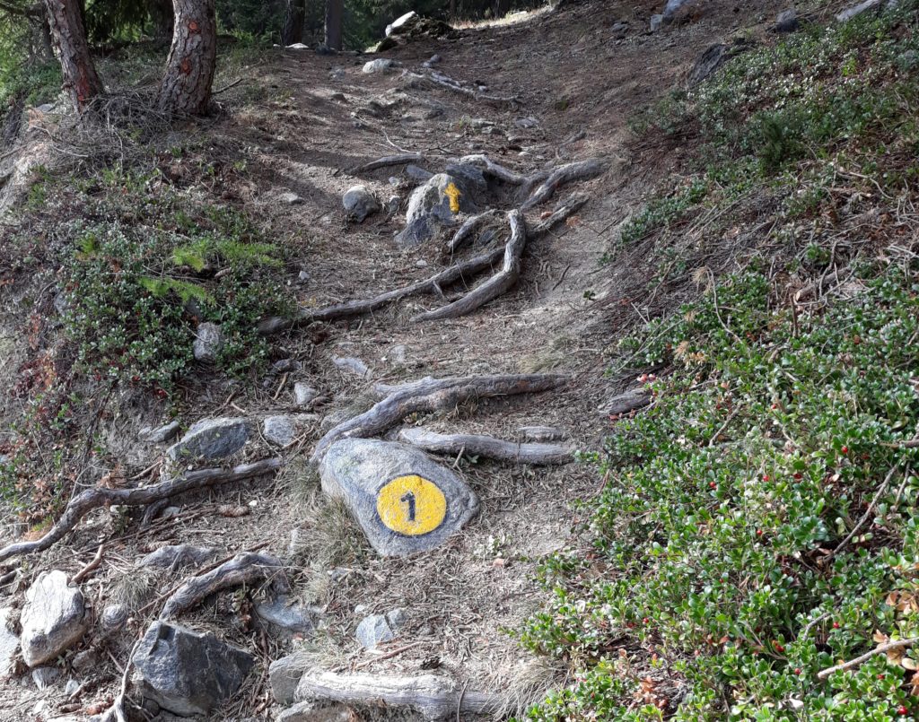
I decided to hike along the forest road that goes to Col des Bornes (1774 m a.s.l.), where few hiking routes can be followed. I took the hiking route N°1, difficulty EE. The signpost indicates 2h45’ to reach the Becca d’Aver, but it takes much less, if you are well trained.
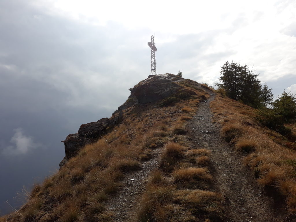
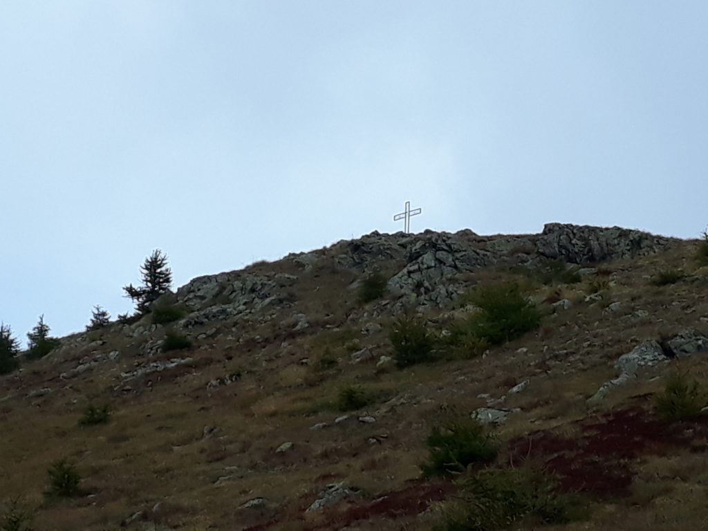
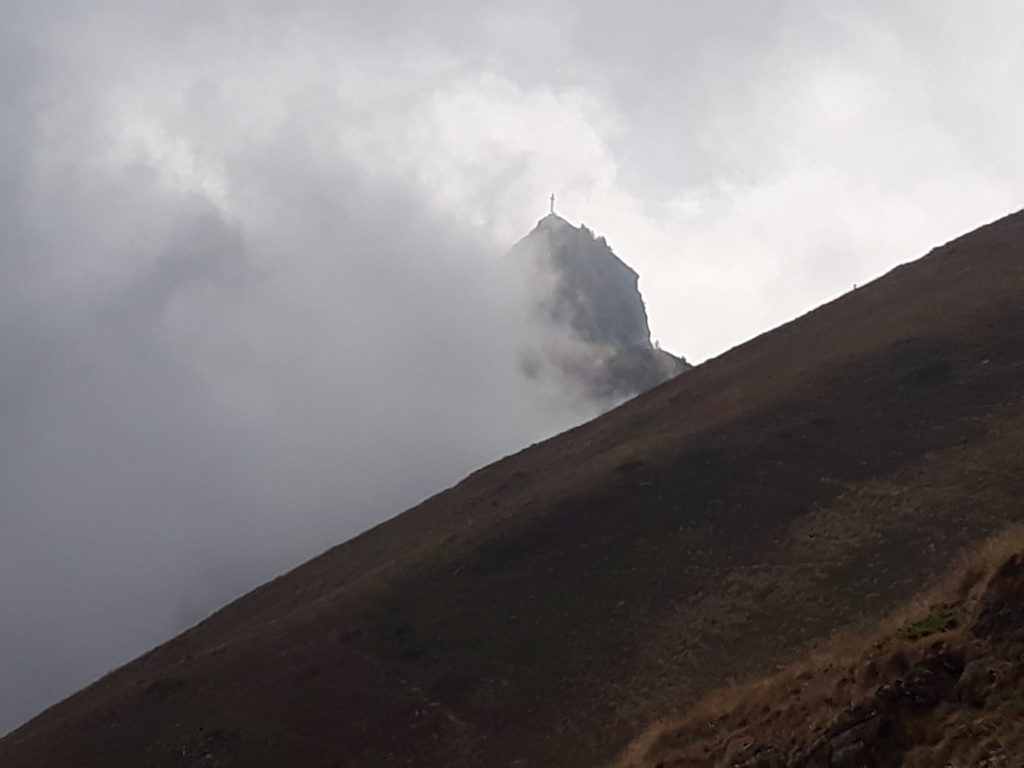
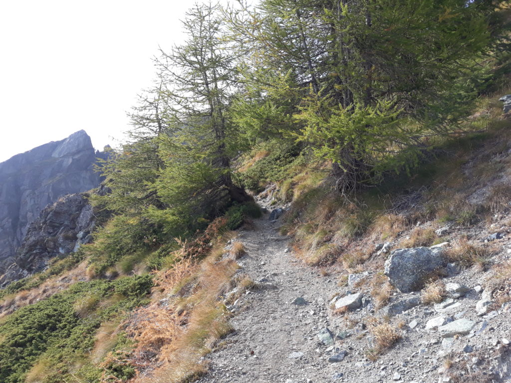
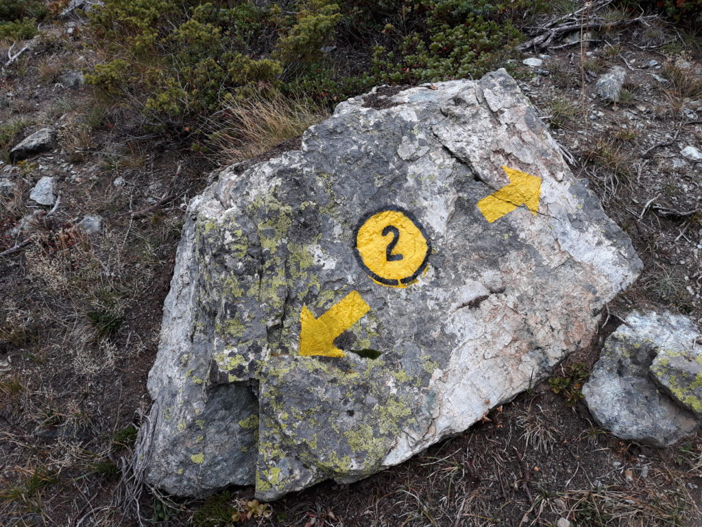
The uphill starts in a beautiful larch forest, and allows nice views of the central valley on the left side. At about 2100 m a.s.l., the hiking route N°1 crosses the N°2 and the combined route leaves the larch forest after few hundred meters. Here, the summit of the Cima Longhede, dominated by the large cross, becomes visible. At about 2320 m a.s.l, the Colle d’Aver allows the first view on the Valtournanche (today partially covered by clouds). The uphill towards the summit continues taking the left hiking route, in the direction of a small chapel. Few more meters to reach the ridges between Becca d’Aver and Cima Longhede. On the right side, it is already visible the cross at the summit of Becca d’Aver at 2469 m a.s.l.
In a sunny day, from the top there is a wonderful 360° view. Today the clouds followed me and left me just with a little glimpse to admire the Valle di Saint Barthelemy. Despite the clouds, I followed the nice ridge that connect the Becca d’Aver and Cima Longhede.
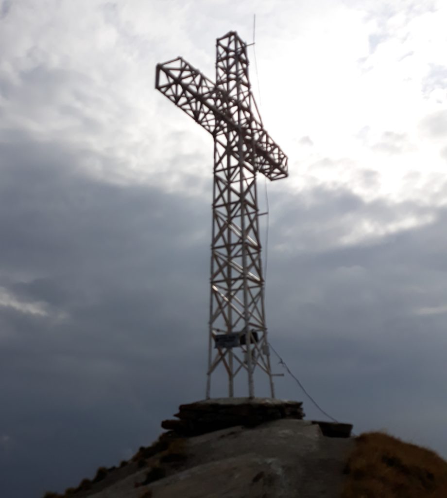
Few meters before reaching the summit, the clouds disappeared and left me the full view of the huge cross that dominates the Cima Longhede. After few minutes looking downwards to the central valley, I started the descent from the same hiking route of the ascent. At 2380 m a.s.l., I took the traverse that passes through the avalanche protections below the Becca d’Aver. This part is really nice and easy to run. It connects to the same route of the ascent, just few meters below the chapel.
I continued the descent along the same hiking route of the ascent. At 2100 m a.s.l., I took the hiking route N°2 and I descent on the orographic right of R. Paquiere. The hiking route goes down straight towards the starting point, which can be reached either directly or with some additional variations (following hiking route N°6 or several routes generated by the ski slopes).
_____________________________
General Information
Activity type: hiking / trail-running
Start Date: 19/09/2020
Start Time: 3:06 p.m.
Start Point: Parking at Champlong https://goo.gl/maps/DBobn8ECFLpVTi5o6
Altitude (at start): ca 1649 m a.s.l.
Altitude (at highest point): 2469 m a.s.l.
Cumulative Gain+: ca 1000 m
Cumulative Loss -: ca 978 m
Distance: ca 10,7 km
Air Temperature (average): ca 20°C
Weather Conditions: cloudy
Maps & GPS:
- Suunto 9: https://www.suunto.com/move/andreadefilippo70/5f663632dcb6fc08ce496d5a
- Strava: https://www.strava.com/activities/4083271615
_____________________________
Photos & Videos
Additional Information
If you want more information or technical details related to this mountain path, please do not hesitate to contact me or comment below.
Kind Regards
Andrea De Filippo
______________
Other information about hiking and trail-runnning in Italy at the following link: Trail Running (and hiking) to explore Italy | EmigranTrailer


